
|
Some San Diego Travels of a Fine Suzuki V-Strom Home | Costa Rica | Multi-Day Adventures | Newbie Advice | MPG | Links |
|
|
April 2006 Rides Oh
yea, I met Glen (Striking
Viking) and
|

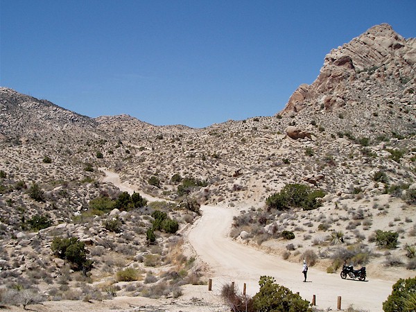
 Self-portrait near Mecca and working the sand somewhere north of Campo |
 "dustjunkie" and "sandiegoland" descending a volcanic plateau near Jacumba (photo Zen Slug) |
 North of Warner Springs with Matt, Matt, & Michael B. |

Glen (and local Dakar rider John) in San Ysidro |
|
 Grapevine Canyon |
 Near Christmas Tree Pass |
|
Otay TT & Border Trails -
03/19/06 |
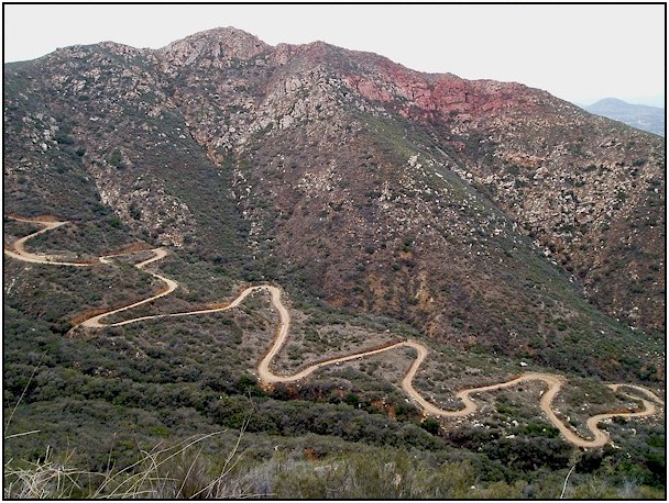 Dirty twisties descending to Barrett Junction |

Cottonwood Creek near the US-Mexico Border (photo Randy) |
|
Lusardi TT - 02/25 &
02/26/06 |
 Northbound on Eagle Peak Rd |
 Spur road over Mocogo Ranch |
|
Pine Creek Road - 02/18/06
|
 Near the top of Nobel Canyon |
 Notice the snow covered cactus? |

|
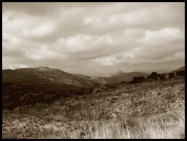
 Panormic View near Oasis Springs off Sunrise Highway (CR-S1) |
|||
|
Back to Otay - 01/07/06 |
 Jeremy hopping down the road |
 "Watch Out!" "Don't expose your life to the elements" "It is not worth the trouble!" |
|
Boulder Creek Road & Nate
Harrison Grade - 12/29/05 |
||
 View along Boulder Creek Road |
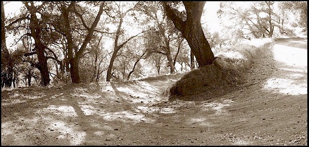 Oak shaded switchback on Nate Harrison Grade |
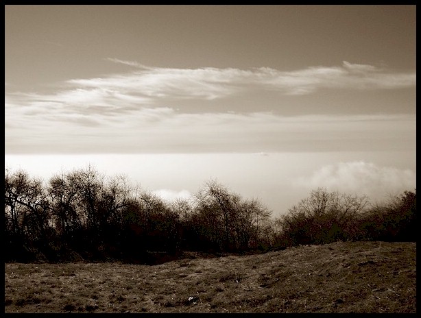 Above the cloud cover at Boucher Lookout |
|
Campo to Tecate on the Border -
12/28/05 |
|||
 Border fence near Campo |
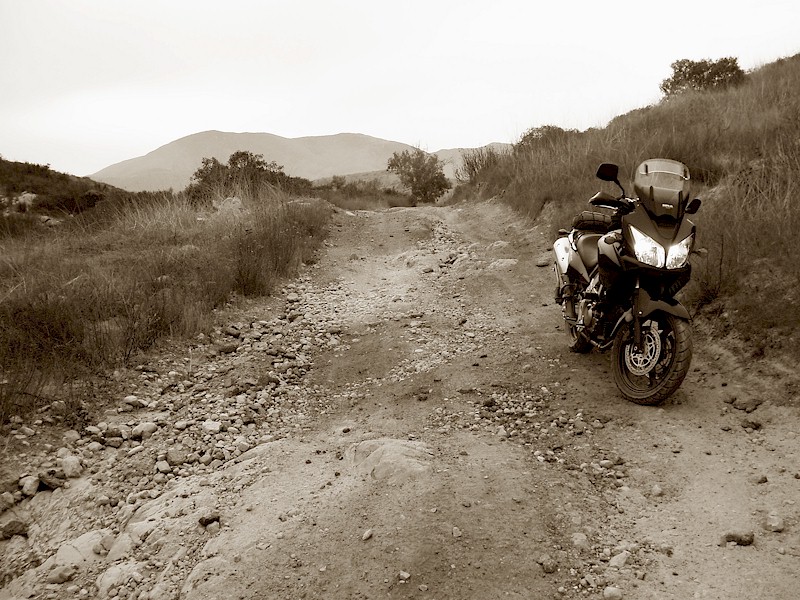
 Rough terrain |
 SDAR tunnel #4 and bridge over Campo Creek |
 DL-650 at home near Otay Mountain |
|
Otay Mountain - 12/17/05 &
12/18/05 |
|||
 Panoramic view of Otay National Cooperative Land and Wildlife Management Area |
|||
 Panoramic view of Marron Valley and the Tijuana River. |
|||
 View from Otay Mountain to Cerro Jesus Maria |
 Lots of corner mirrors for a road with no traffic |
 Border Monument southwest of Otay Mountain |
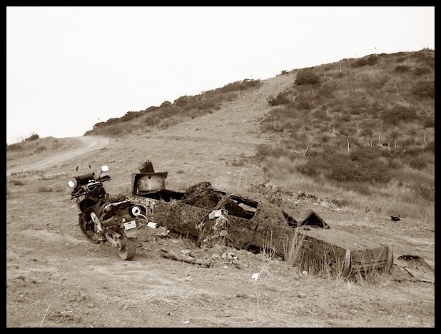 A well used Cadillac and bathtub on the ridge road to Marron Valley |
|
Exploring - 12/10/05 &
12/11/05 |
|||
|
|

|

|
|
|
|||

|

|

|

|
|
Beyond East San Diego
County - 11/25/05 |
 View to Borrego Springs from Montezuma Pass, CR-S22 |
 View to Clark Dry Lake off CR-S22 |
|
East (really East) San Diego County - 11/08/05 |
||
 Some more comments about SR-94 and Old Highway 80 at www.pashnitforum.com in "Along the Southern Border" |
Made one last round of |
 Desert Tower |
|
San Diego 250 & Buell Chasing - 11/05/05 & 11/06/05 |
|||
 Full Route Plan: San Diego 250 |

Mechanical stop sign man Motor Transport Museum |
 Chain-drive Mack truck used in the movie "The Aviator" |
|
|
Andy and I completed the
entire San Diego 250 |
 Water Tower at the Campo Mill |
||

The clouds on Sunrise Highway |
 Devin's new Buell on Sunrise Highway |
|
|
|
|
|||
 Mother Grundy Truck Trail sense of humor |

West leg of Mother Grundy |
 Obligatory V-Strom pose |
 Pick the right Tool for the job |
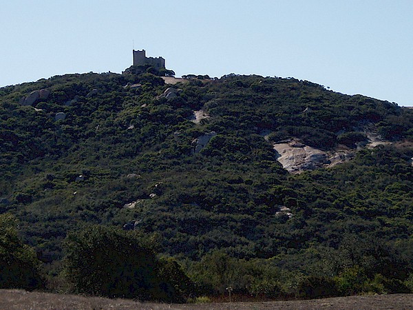 Castle view from Deerhorn Valley Road |
Mother Grundy Truck
Trail is steeper on the west leg. Proctor Valley
Road is still a bit of a snore, but good |
||
|
San Diego 250 - 10/15/05 |
|||
|
Full Route Plan: San Diego 250 |
 Not that trucks are bad... |
 Prelude to a hairpin on Lyons Valley Road |
 Along Japatul Valley Road |
 View due East from Kwimee-Point off the Sunrise Highway |
|||
 View of Lake Henshaw from Palomar East Grade Road |
|||
 View of a Crouch Valley on the Sunrise Highway |
|||
| ...see More San Diego Adventures from earlier in 2005... | |
|
|
|


 South
County, San Diego - 10/29/05 & 10/30/05
South
County, San Diego - 10/29/05 & 10/30/05
